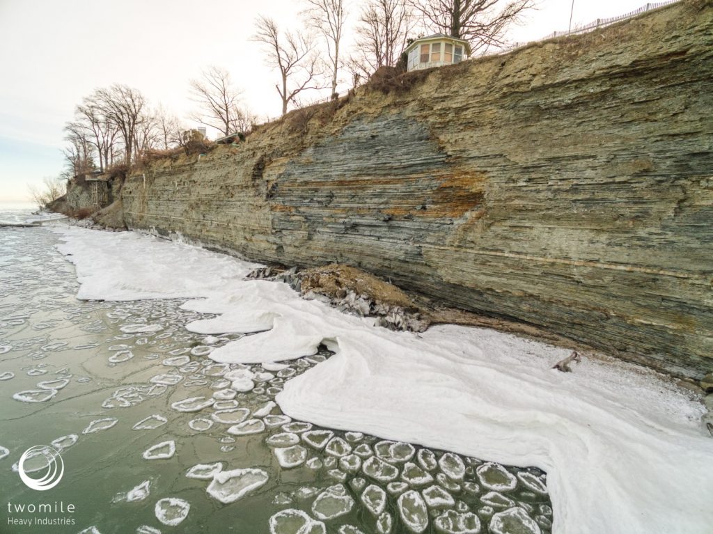
Shoreline inspection by drone is a quick, easy, and SAFE way to get a look at what’s happening at the water’s edge. If your property is located on a bluff, that lake view is unbeatable but shoreline inspection and monitoring can be a challenge.

For a limited time, we are providing free shoreline inspection by drone, for Cleveland area homeowners on Lake Erie. Drone inspection is a quick, easy, and SAFE way to get a look at your bluff face, and see what’s happening at the water’s edge.
What do you get?
We will come to your home and use a professional-grade drone to take high-resolution photos and video of the shoreline on your property. You will receive:
- Initial consultation
- 20-30 high-resolution photos of the property shoreline
- Video footage of the shoreline
- Report of overall condition and problem areas
- Materials available online or DVD
If desired, we can also provide ongoing shoreline monitoring, along with 3D model analysis to detect and quantify changes over time.

How does it work?
When you contact us, we will schedule a brief consultation to identify any special concerns or problem areas, and answer any questions you have. This can be done by phone or in person.
Next our pilot will visit your property, fly your shoreline, and take photos. This requires some brief pre-flight tests and the whole routine usually takes less than 45 minutes. We fly the shoreline and capture high resolution photos and video from a variety of perspectives, producing 80-100 high resolution images of the surface. You don’t need to be home, but we would be glad to meet with you and show you the process.
After recording the images, we take them back to our office for post-processing and select the best images from the set.
Within 7 days, we will deliver your report along with 20-30 high resolution photos and a video of your property shoreline. We can provide those online or on a DVD, depending on your preference.
To learn more or schedule your free inspection, please contact us.