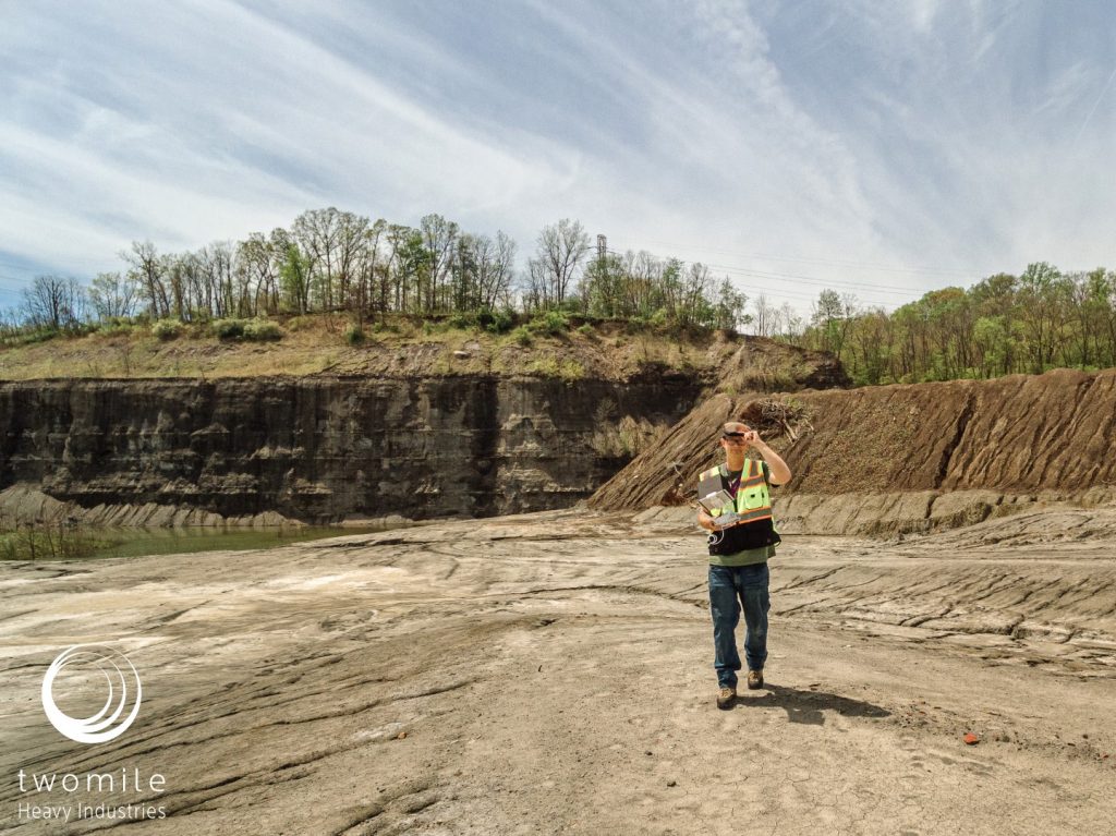
Twomile uses UAS/drones for aerial photography, drone mapping/GIS, and virtual tours. We support urban planning and conservation projects, through all phases of work: design, development, and site monitoring.
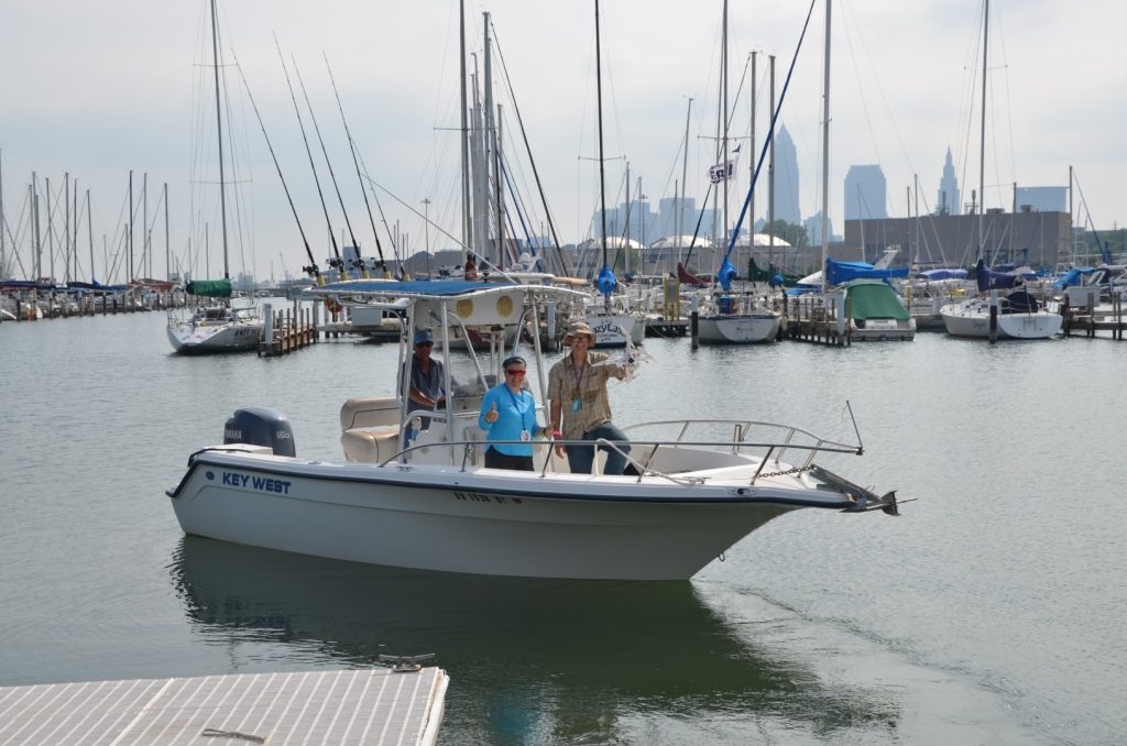
Our office is located in Cleveland near the shores of the Cuyahoga River and Lake Erie, and we have a special interest in the interactions of water, land, and people.

Why Choose Twomile?
- Safe, Legal, and Professional
- Community Leaders and Educators
- FAA Certified for Commercial Operations (Part 107)
- Certified Small Business (City of Cleveland CSB, LPE, VSBE)
What We Offer
- Aerial Photo and Video
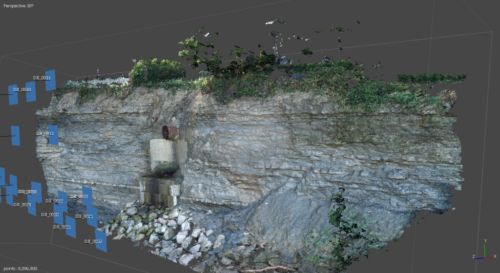
- Drone Mapping
- Aerial 360 Panoramas and Virtual Tours
- Construction Project Progress - Photo and Video
- Roof Inspection
- Shoreline Inspection
- Shoreline Monitoring
Offerings by industry:

Deliverables
- High-resolution photos, videos, and 360 panoramas for your company and project stakeholders
- As-built photo, video, 3D models, and reports for historical reference
- Geo-rectified 2D and 3D outputs suitable for GIS and CAD
- 360 panoramas and virtual tours

Qualifications
All operations are performed by FAA-certified Part 107 remote pilots, and are fully insured. We ensure safe and legal operations by identifying airspace and ground restrictions within the project vicinity and securing appropriate authorization with the FAA and local law enforcement agencies.
We are industry leaders in the northern Ohio UAS industry. As members of the North Coast Drone Alliance, we plan and execute community education, mentorship, and STEM development programs in our local community.
Twomile is a Certified Small Business with the City of Cleveland (CSB, LPE, VSBE).
Pricing
Most jobs are $250-$500 per site visit, or $1,800-$2,500 per day depending on complexity of the operation. See our pricing page for full details.