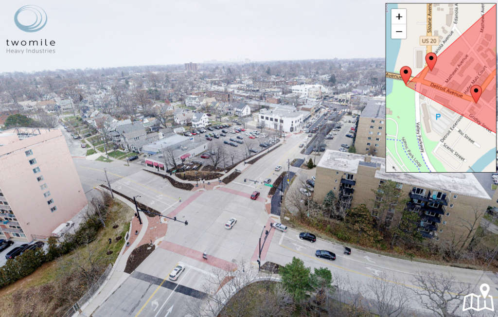
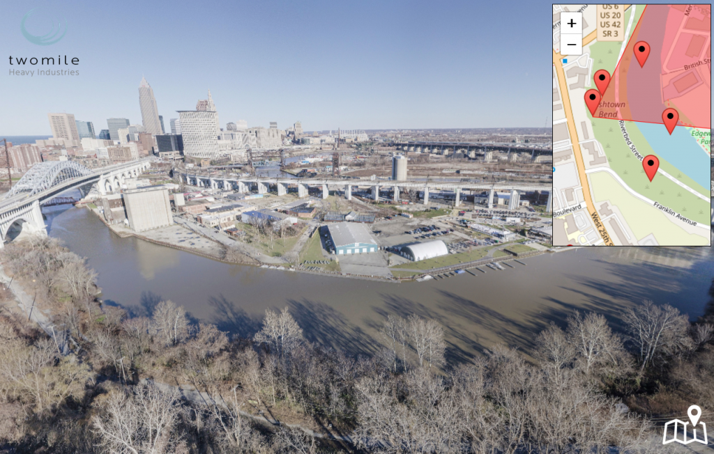
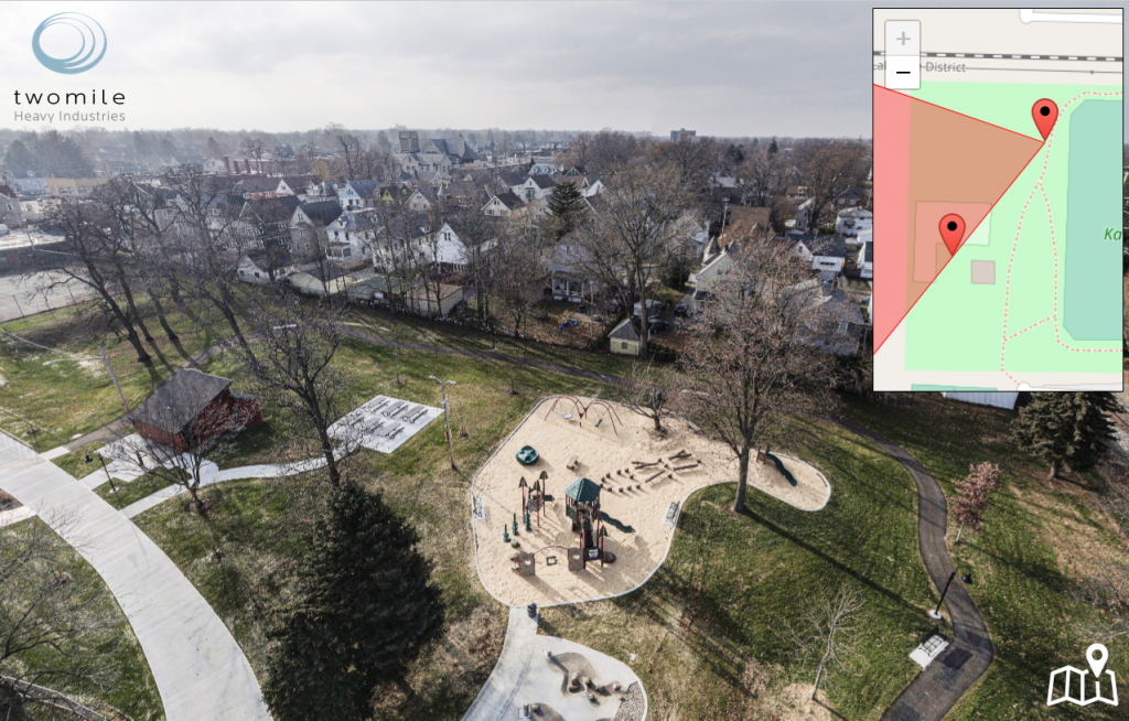
We use high-resolution aerial photography to create 360-degree panoramas in support of urban design, planning, and infrastructure projects. Our virtual tours connect multiple high-resolution aerial views using a simple, intuitive map interface. Browse the examples below, to see how it works.


